


Hike-hype
December 14, 2022
There’s nothing quite like the embrace of nature. Freeing yourself occasionally from the spider’s web of social media algorithms, despondent news stories and constant reminders of your responsibilities can lead to a more productive, grounded and content version of you.
“I feel like for me, being in nature is an opportunity to just let things go,” science teacher Leah Thomas said in agreement. “It’s like disconnecting from technology or whatever fears and stressors you may have”.
Due to the San Francisco Peninsula’s shape, such nature is abundant. Because a majority of the Bay’s inhabitants live closer to the water, a variety of parks, hiking trails and open space preserves exists along the neck of the peninsula, stretching from Santa Cruz in the south to the city of San Francisco in the north. With so many options, it can be difficult to know what trails and locations you may want to try. How close is the park to where you live? How difficult is it to traverse the area? How large is it? These questions are best answered with experiential knowledge. As such, I have undertaken a tour of a few of the local trails around the mid-peninsula.
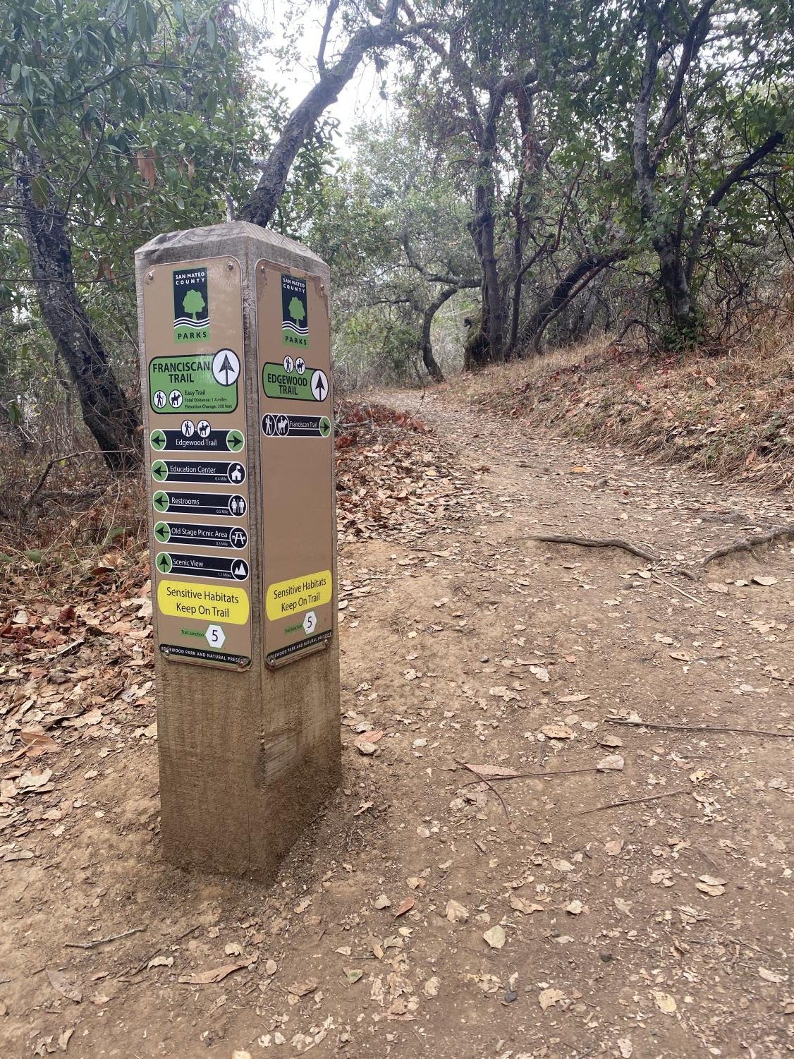
Edgewood Open Space Preserve
- Distance from Sequoia: 2.8 Miles
- Size: 467 acres
- Trail Difficulty: Medium
- Trail Variability: 2/10
- Views: 8/10
- Flora: 7/10
- Fauna: 4/10
- Vibes: 9/10
- Development: minimal after the park entrance
- Atmosphere: 10/10
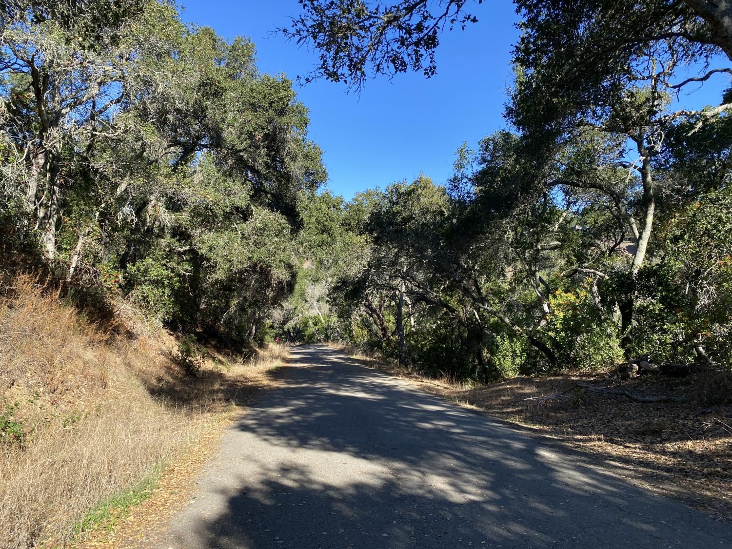
My first stop was the Edgewood Open Space Preserve. Nestled in the foothills of Redwood City and San Carlos, Edgewood acts as the perfect middle-of-the-road park. The preserve hosts a variety of trails, all ranging in difficulty and length. However, any path you take from the main entrance will have you walk somewhat steep paths, among the low hanging deciduous trees (trees whose leaves fall off in winter) common to the Bay Area’s low foothills. If you brave the initial forests, passing by quaint rodent burrows made from a collage of red and brown leaves, you will find yourself among true Chaparral. Coming from the old Spanish word chaparro (meaning “place of the scrub oak”), Chaparral is the vast, dry, grassy scrubland that can be seen dominating the ridge of hills separating the communities of the peninsula from Highway 280. It is here where the greatest views can be found. Looking east, you’ll have spectacular views of the Bay Area, being able to see as far east as Hayward and the East foothills. Looking west, there is the vast wilderness of the Santa Cruz mountains as far as the eye can see, as well as an unfortunate overlook of highway 280. I found the Edgewood/Sunset trail, which took me to all of these locations, to be more than accessible to hikers of my somewhat experienced skill level. My experience on the trails was far from my experience climbing Mt. Machu Picchu, but it could still make for a great workout for those not used to steep inclines. Though uphill in some portions of the trail, there are plenty of flat portions to give your legs a break while walking. I would recommend bringing a full bottle of water and some form of sun protective gear, especially during the summer months, as the Chaparral portion of the trail offers little protection from the sun.
Edgewood is also home to a variety of flora and fauna, both common and rare to the area. Mountain lions, rattlesnakes, poison ivy, and other dangerous organisms have all made a home in the area, and as such it is crucial to take the necessary precautions when traversing the park. The need for safety measures, like any of the parks in this review, should be taken into consideration when visiting. However, there is also a wealth of friendly flora and fauna to be found in the park. Every spring, wildflowers bloom among the chaparral, creating a dazzling array of colors that is a true sight to behold. Additionally, the rare Bay checkerspot butterfly can be found here, one of the only parks in the bay area able to claim such a thing. Overall, Edgewood is a great first foray into nature- its flora, fauna and terrain are varied, its trails are relatively easy to navigate, and it’s located right in Redwood City’s backyard.
Pulgas Ridge Open Space Preserve
- Distance from Sequoia: 3.7 Miles
- Size: 366 Acres
- Trail Difficulty: Easy-Hard
- Trail Variability: 8/10
- Views: 8/10
- Flora: 5/10
- Fauna: 4/10
- Vibes: 6/10
- Development: Substantial
- Atmosphere: 8/10
My next stop was Pulgas Ridge Open Space Preserve, less than a mile away from Edgewood park, Pulgas Ridge offers many of the similar spectacular views while also offering greater variety in the makeup of its trails. The preserve is a popular location for dog owners, and during my time on the Hassler Loop Trail, there seemed to be a never ending carousel of breeds of all shapes and sizes. The large dog population at the preserve is more than likely because of the availability of flat paths to walk on. Pulgas Ridge is certainly a preserve of extremes- while some paths were flat for all intents and purposes, others were almost entirely uphill. This comes in direct contrast to Edgewood, where nearly all paths follow the same pattern of initial inclines making way for flat grassy fields and then descending back into the forest. As such, this preserve is excellent for any range of interests, with casual walks and intensive treks offered. The Hassler loop trail in particular gave me a decent workout, as the first half is an uphill climb to spectacular views of the Santa Cruz mountains. A mosaic of Redwood trees was painted before my eyes as I climbed the ridge leading to the turning point on the trail, an ocean of leaves that made the mind freeze in awe. I intend to explore the preserve extensively on a later visit, as my initial tour impressed me thoroughly.
Crystal Springs Sawyer Camp Trail
- Distance from Sequoia: 9.8 miles
- Trail length: 18 miles
- Trail difficulty: very easy
- Trail variability: 1/10
- Views: 10/10
- Flora: 10/10
- Fauna: 6/10
- Vibes: 3/10
- Development: fully developed
- Atmosphere: 7/10
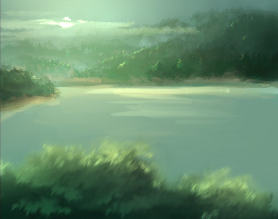
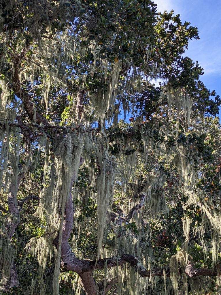
My final stop was the Crystal Springs Sawyer Camp trail. Located just off of the west side of highway 280 near San Mateo, the trail follows the rim of the Crystal Springs reservoir. Originally a resort town by the same name during the 19th century, the reservoir was created after the valley was submerged due to a damming effort by the State of California, creating one of the largest bodies of freshwater in the peninsula. This trail, admittedly, left me with mixed feelings. I’ve always had a soft spot for oceans, lakes, creeks, etc. – and the scenery of the Crystal Springs Trail is no exception. Home to mint-colored Spanish Moss dangling from stark white trees, the lake’s calm, rippling waters are akin to something out of a postcard or screensaver. There is only one problem- the lake is closed off from the public due to its role as a reservoir for the Peninsula’s towns and cities. As such, I had to observe the beauty from behind a barbed wire fence, just out of reach of the pristine lakeside.
It would be somewhat misleading to describe this trail as a hike. The terrain is incredibly flat, similar to the flats of San Carlos or Redwood City, and so this walk was no challenge to me. While this does take the challenge out of the trail, the flat terrain is perfect for cycling, roller skating or other activities.The trail is also much more developed than Pulgas Ridge or Edgewood, with a paved pathway hosting bathrooms and benches every 500 feet or so.
While I did enjoy the natural beauty, it was frequently interrupted by the sheer amount of man-made buildings around me. The low roar of highway 280 can be heard constantly, and while the lake is one of the most beautiful places in the area, visitors are barred from getting a closer look at it.
That being said, if you wish to ride your bike in nature, I would recommend this trail, as the paved roads are much more navigable than those at Pulgas Ridge or other parks.
Though I chose to highlight these three areas in my review, that is not to say that these are the only parks and preserves worth visiting in the peninsula. From the Filfield-Cahill ridge trail deep in the Santa Cruz mountains, to the Juan Bautista de Anza trail snaking along the length of the peninsula, rest and relaxation is just a hike away.